
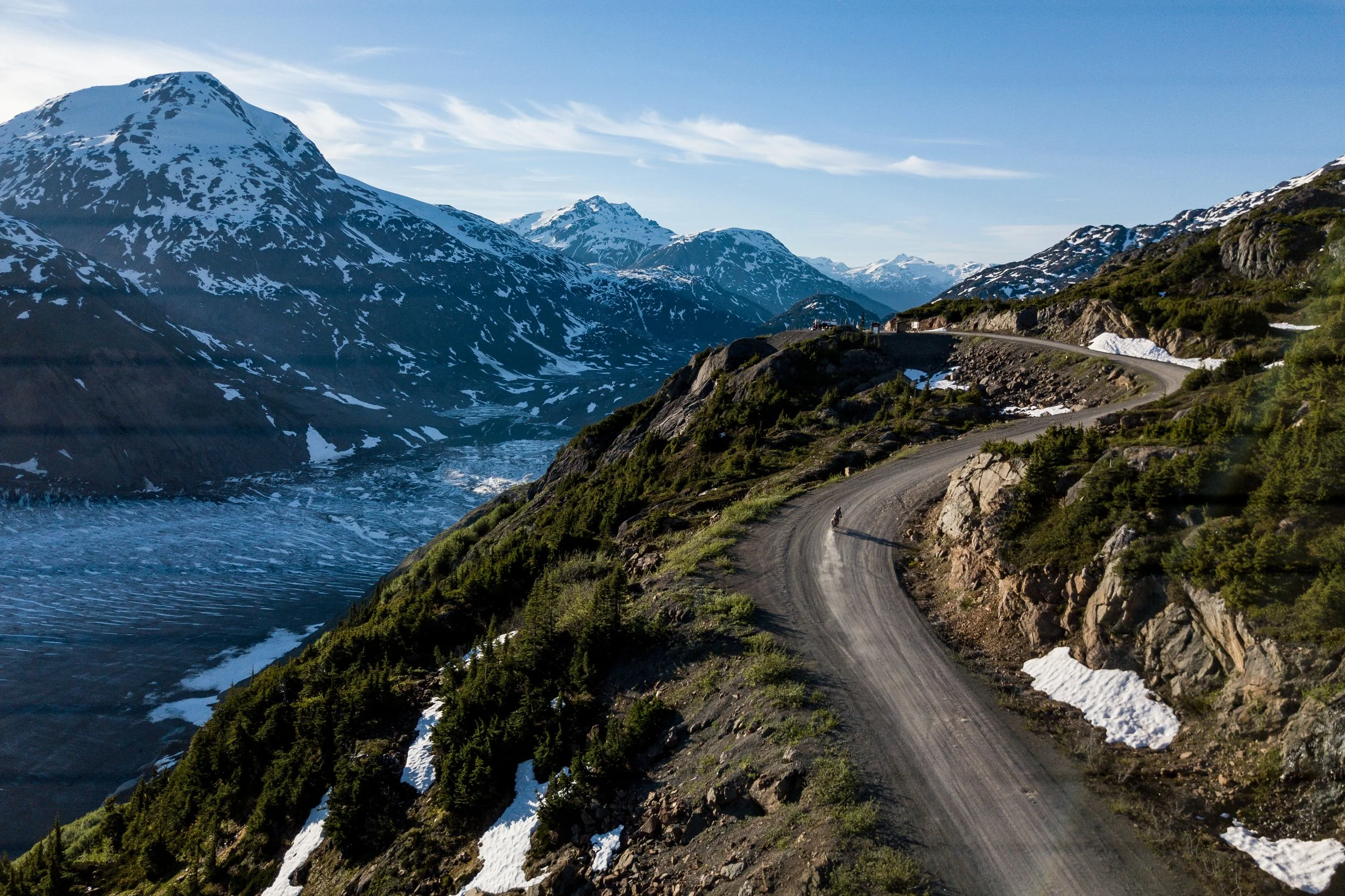
Modernized land use planning.
Credit: Steve Shannon Photography
Make sure recreation has a place in decisions about B.C.’s lands and waters
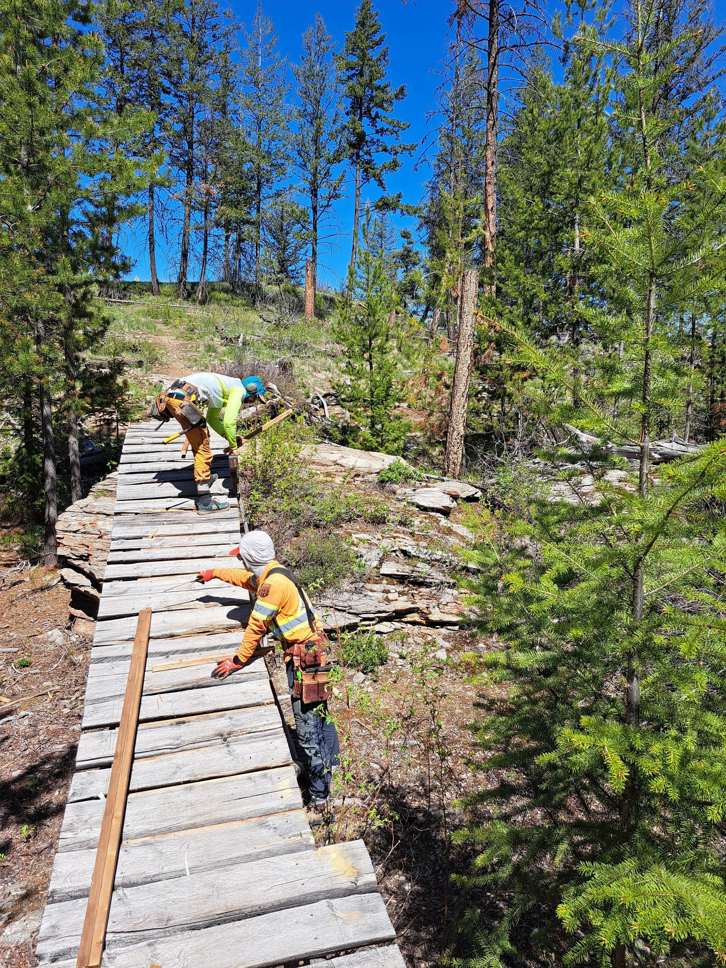
Photo by Cody Dalton. Mountain Bikers of the Central Okanagan.
Land use planning helps determine where conservation, recreation, forestry, mining, tourism and other activities can occur on provincial public lands and waters.
Many of B.C.’s existing land use plans were developed decades ago, under different legal, policy and planning approaches. Modernized planning is intended to better reflect reconciliation with Indigenous Peoples, biodiversity loss, climate change, cumulative effects and changing community priorities.
These plans can shape access, trails, waterways, hunting and fishing areas, recreation settings, community economies and conservation priorities for decades. They can also influence how competing interests are balanced and which values are carried forward into future management decisions.
The Province develops modernized land use plans in partnership with First Nations, with input from communities, local governments, organizations, industries and the public.
Outdoor recreation organizations can help by getting involved early and sharing local knowledge about the places people use, how they access them and why they matter.
Why land use planning matters
Land use plans may affect:
access roads, bridges and trailheads;
trails, waterways and recreation corridors;
protected and conserved areas;
scenic and recreation values;
local tourism and businesses;
biodiversity and wildlife habitat; and
future legal and management decisions.
A plan may not decide the future of every trail, waterway or recreation area, but it can establish the framework for later decisions.
What could change?
Each planning process is different. It may lead to new land use zones, conservation measures, management objectives, legal direction or shared stewardship arrangements.
These changes can influence future decisions about access, recreation, conservation and resource use.
How does public participation fit into the process?
The Province’s modernized land-use-planning processes are generally developed in partnership with participating First Nations. This approach is intended to advance reconciliation and help the Province meet its legal and policy responsibilities relating to Indigenous rights and title.
The Province also has a responsibility to understand how proposed decisions may affect communities and other public interests, including outdoor recreation, conservation, tourism, local economies and resource use.
The opportunities and timelines for participation will vary between planning processes. Recreation organizations should ask early how their knowledge will be gathered, when they will be able to review proposed options and how the Province will explain what it heard and how public input was considered.
Get involved early
The best time to get involved is when a planning area is announced, the scope is being defined, or information is being gathered about local values and uses. Do not wait until a final draft plan is released. By then, many of the main objectives, land use options and proposed designations may already be well developed.
Early participation gives recreation organizations more opportunity to:
identify important places, access routes and recreation uses;
share local knowledge before maps and options are finalized;
explain community, cultural and economic benefits;
understand Indigenous and provincial priorities;
identify potential conflicts; and
suggest practical solutions while alternatives are still being considered.
Watch for project announcements, introductory meetings, mapping exercises and other early engagement opportunities. Check the Province’s active planning projects and sign up for updates on any project in your area.
Recreation organizations should also contact the planning team when a process begins, introduce their group and ask to be included in future engagement.
What information is useful?
Every planning process will have its own engagement questions and submission requirements. In general, recreation groups can provide the most useful input by clearly identifying the place or recreation resource, explaining how it is used and describing the outcome they are seeking.
Identify the place
Include a map or coordinates showing:
trails and recreation areas;
access roads and bridges;
trailheads and parking;
waterways and boat launches;
campsites and shelters;
winter recreation routes;
hunting and angling areas;
viewpoints and scenic areas; and
informal or undesignated recreation areas.
Explain why it matters
Describe:
how the area is used;
who uses it;
seasons of use;
approximate visitation;
volunteer contributions;
tourism or business connections;
accessibility features;
environmental or cultural sensitivities; and
what could be lost if access or management changes.
Make a clear request
For example, ask the planning team to:
recognize the area as an important recreation value;
maintain access;
protect trail or water-route connections;
include recreation groups in future decisions;
recognize compatible recreation within conserved areas; or
use seasonal or site-specific management instead of permanent closure.
Work with others
Recreation groups will often have a stronger voice when they work together. Connect with other clubs, provincial organizations, Indigenous Nations, local governments, tourism groups, businesses and community organizations that may share an interest in the area.
Collaboration can help groups:
identify shared priorities;
coordinate maps and local knowledge;
avoid duplicating submissions;
show the broader community importance of an area; and
present practical solutions that reflect a range of interests.
Where views differ, groups can still identify common ground and be clear about where their priorities are not the same.
Consider the complete recreation system
A recreation opportunity often depends on more than the trails or amenity itself. Recreation groups should consider:
roads and bridges used to reach hunting, fishing and recreation areas;
trailheads, parking and staging areas;
boat launches and shoreline access;
access to rivers, lakes and backcountry areas;
connections between trails, waterways and recreation sites;
seasonal road access and maintenance;
campsites, cabins and other supporting infrastructure; and
access for stewardship, maintenance and emergency response.
Planning input should show how the complete access and recreation system works.
How planning options are assessed
The Province may use a socioeconomic and environmental assessment to compare planning options.
This can consider effects on:
ecosystems and wildlife;
Indigenous interests and values;
communities and local economies;
recreation and tourism;
public access;
resource industries; and
social and cultural values.
Recreation organizations can help fill information gaps by providing information about hunting, fishing and other recreation use, along with visitation estimates, volunteer hours, community investments, business connections, access requirements and likely effects on recreation experiences.
Be clear about where your information comes from and distinguish confirmed figures from estimates.
Learn about socioeconomic and environmental assessment
Recreation and conservation
Outdoor recreation depends on healthy ecosystems, clean water, functioning wildlife habitat and resilient landscapes. Recreation groups therefore have a strong interest in protection and in the long-term stewardship of the places people use and value.
Protected and conserved areas may continue to support a range of compatible activities, including hiking, paddling, skiing, hunting, angling, camping, wildlife viewing and motorized recreation. What is appropriate will depend on the ecological and cultural values of the area, the objectives of the planning process and the management direction that is established.
Where recreation may affect sensitive habitats, wildlife or cultural values, management options could include:
seasonal or site-specific restrictions;
route changes or relocation;
visitor education;
improved infrastructure;
restoration;
monitoring; and
adaptive management.
Recreation groups should support measures that protect the values of the area while asking that decisions be transparent, evidence-based, proportionate and developed with meaningful input from affected users.
Indigenous Protected and Conserved Areas
Indigenous Protected and Conserved Areas, or IPCAs, are Indigenous-led initiatives that express a First Nation’s vision for protecting and stewarding lands and waters within its territory.
While a Nation may declare an IPCA independently, recognition and implementation under provincial law are generally advanced through government-to-government discussions and planning with the Province of British Columbia.
An IPCA declaration does not automatically change existing access, tenures or permitted activities. However, it may lead to further planning, agreements, legal measures or management decisions that affect recreation.
Recreation organizations should learn about the Nation’s vision, share information about existing use and access, and participate early in any planning process that follows.
Working with First Nations
Provincial engagement does not replace relationship-building with First Nations.
Recreation organizations should:
learn whose territory they are operating in;
approach Nations early and respectfully;
listen to Indigenous priorities;
recognize Indigenous rights, laws and governance;
share information openly; and
explore opportunities for shared stewardship.
See ORCBC’s Guidance Toolkit for Engagement with Indigenous Communities.
Questions to ask
How will recreation values be identified and mapped?
How will public input influence decisions?
How can informal recreation areas be submitted?
How will access roads, bridges and trailheads be considered?
How will recreation and tourism be included in the assessment?
How will compatible recreation be determined?
What opportunities will exist to comment on draft options?
How will public input influence decisions?
How will the plan be implemented and monitored?
Before you submit
Make sure you have:
identified the place;
included a map;
documented access as well as the destination;
explained who uses the area and why it matters;
identified what may change;
distinguished facts from estimates; and
made a clear request.
Current planning opportunities
Modernized land use planning is underway in several regions of B.C., including Vancouver Island, the Sunshine Coast and northwestern and north-central B.C.
Provincial project pages may include maps, timelines, background reports, draft options and engagement opportunities.
Check regularly and subscribe for updates where possible.
Provincial resources
Need help?
ORCBC can support recreation organizations by:
explaining the land use planning process;
helping identify recreation and access concerns;
connecting organizations working in the same region;
reviewing draft submissions;
supporting coordinated input; and
raising broader recreation priorities with the Province.
Strengthen recreation’s voice
Land use plans can shape access, conservation and recreation for decades.
By becoming an ORCBC member, your organization helps ensure outdoor recreation is represented in decisions about B.C.’s lands and waters.
Become an organizational member
Groups can also subscribe to ORCBC’s newsletter for updates on selected planning and land-use opportunities that may affect outdoor recreation.