
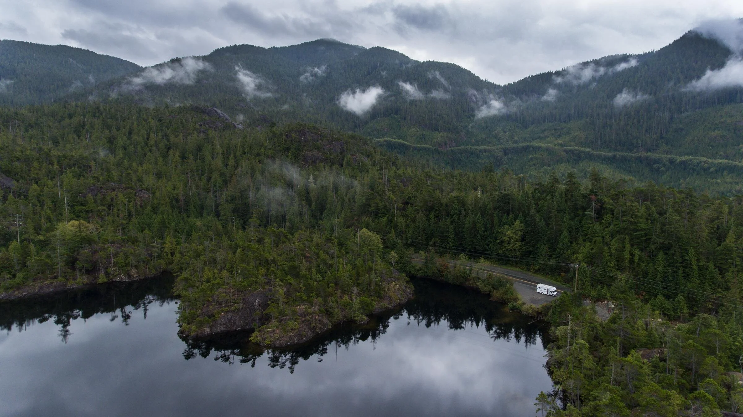
Forest landscape planning.
Credit: Destination Canada and Brian Caissie
Help shape the decisions that affect recreation access
Forest landscape plans will guide forest management across defined areas of British Columbia. They can influence forest roads, bridges, trails, recreation sites, scenic quality and public access.
Participating in forest landscape planning gives recreation groups an important opportunity to help shape decisions that affect access, trails and outdoor experiences.
Recreation groups hold valuable local knowledge, but planning teams may not know about every trail, access route, recreation site or informal use area. Participating in the planning process is one of the most important ways groups can help ensure these values are understood and considered before decisions are made.
ORCBC’s guide, developed with support from McElhanney, explains how groups can identify important recreation values, prepare useful information and participate effectively.
What is a forest landscape plan?
Forest landscape plans are a new form of landscape-level forest planning introduced through changes to the Forest and Range Practices Act.
They are intended to replace forest stewardship plans and establish broader direction for forest management across an entire planning area, rather than focusing only on the operating areas of individual forestry companies.
Forest landscape plans are intended to:
support ecosystem health and biodiversity
reflect Indigenous and community values
improve direction for forestry activities
strengthen resilience to wildfire and climate change
support economic stability
Plans can establish measurable objectives, targets and planning guidelines for forest management. These may influence where roads and cutblocks are located, how harvesting is carried out and how forest values are managed and monitored.
Why forest landscape planning matters
Forest landscape plans can affect the places and infrastructure people rely on for outdoor recreation, including:
access to trails, lakes, rivers and backcountry areas
forest roads, bridges, trailheads and launch areas
trail and route connections
scenic quality and the character of recreation experiences
water, wildlife and ecosystem health
public safety and emergency access
Planning teams may not know about every local trail, access route, recreation site or informal use area. Recreation groups can help by identifying these places, explaining how they are used and describing how forest management decisions could affect them.
The earlier this information is provided, the more useful it will be as objectives and priorities are developed.
What forest landscape planning can - and cannot - do
Forest landscape plans provide direction to the forest sector on provincial land.
They may establish:
objectives and targets for forest values
requirements or guidelines for forestry practices
areas where roads or cutblocks should not be located
limits on cutblock size or configuration
areas temporarily set aside for ecosystem recovery
monitoring requirements and indicators of progress
Forest landscape plans do not:
establish new recreation trails or sites
designate recreation areas
replace strategic land-use planning
regulate non-forestry activities
guarantee that every recreation request will be accepted
Participating does not guarantee a particular outcome, but it helps ensure that important local recreation information is part of the planning process.
When to participate
Forest landscape planning generally includes five phases:
Pre-planning
Values identification and assessment
Plan development
Plan establishment
Implementation and monitoring
Participation is especially important during the values-identification and plan-development phases.
This is when groups can identify important recreation places and access routes, explain how they are used, describe potential impacts and suggest practical outcomes before objectives and targets are finalized.
Groups should not wait until a draft plan is nearly complete to become involved.
What recreation groups should do
Find out whether a plan is underway
Check whether a forest landscape planning process is taking place in your region. Watch for surveys, community meetings, draft plans and submission deadlines.
Connect with other recreation groups
Coordinate with clubs, trail societies, tourism organizations, local governments and other recreation interests where possible.
A coordinated regional voice may be more effective than several groups participating separately. It can also help identify shared priorities and reduce conflicting or incomplete submissions.
Identify important recreation values
Consider:
trails and trail networks
recreation sites and campsites
forest roads and access routes
bridges and stream crossings
trailheads and parking areas
boat launches and waterways
scenic viewpoints and visual landscapes
connections between communities and recreation areas
seasonal use areas
informal but well-used recreation places
Prepare useful supporting information
Useful information may include:
maps and geographic coordinates
trail or site descriptions
visitor and participation data
volunteer hours and maintenance investments
economic or tourism information
photographs
letters of support
information about safety, accessibility or environmental concerns
Be as specific as possible. A mapped access route or trail connection is more useful than a general statement that recreation is important.
For example, a forest road provides the only vehicle access to two trailheads, a recreation site, and a fishing lake. Rather than simply asking that the road remain open, the group could map the destinations it serves, describe seasonal use, identify an important bridge, and request advance notice before any deactivation is considered.
Explain potential impacts
Describe how forestry decisions could affect recreation. Examples include:
loss of access due to road or bridge removal
interruption of trail connectivity
harvesting next to trails or recreation sites
changes to scenic quality
erosion, drainage or water-quality concerns
safety conflicts between recreation and forestry operations
loss of parking or trailhead access
effects on wildlife, sensitive ecosystems or culturally important areas
Ask for practical outcomes
Where possible, identify a clear and realistic outcome. This could include:
retaining an important road or bridge
providing notice before road deactivation
modifying harvesting near a trail or recreation site
maintaining trail connectivity through a cutblock
protecting scenic quality in a high-use area
adjusting the timing of forestry work
establishing ongoing communication with local groups
exploring road-maintenance or access partnerships
Build relationships
Engage early with:
First Nations involved in the planning process
the provincial Forest Landscape Planning team
forest licensees and BC Timber Sales
Recreation Sites and Trails BC
local governments
tourism organizations
neighbouring recreation groups
Forest landscape planning processes are often co-led by First Nations and the Province. Recreation groups should approach participation with respect for Indigenous rights, knowledge, governance and decision-making.
Questions to help identify recreation values
Use these questions when preparing your submission:
Which trails, roads, bridges, waterways and recreation sites are most important?
Who uses them, how often and during which seasons?
Which access routes are essential?
Are there informal or undesignated areas that planners may not know about?
How are these places connected?
What recreation infrastructure has the community invested in?
What forestry activities could affect recreation use or access?
What specific outcome are you asking the planning team to consider?
Which other organizations share your concern?
What evidence can you provide?
Participate through formal channels
Complete surveys, attend engagement sessions, review draft plans and submit information through the official channels identified by the planning team. Informal conversations can help build relationships, but groups should also ensure their information is formally submitted and recorded.
Is forest landscape planning happening in your area?
Check the Province of B.C.’s list of active forest landscape plans to find out whether a process is underway in your region. Each project is being developed with participating First Nations and may be at a different stage of planning or public engagement. Watch for surveys, community engagement sessions, draft plans and submission deadlines.
Current projects include:
Stay informed about upcoming opportunities
Forest landscape planning projects are at different stages, and engagement opportunities will vary by region.
Recreation groups should regularly check the Province of B.C.’s Forest Landscape Planning website for:
active planning projects
project updates and timelines
surveys and engagement sessions
draft plans and public review opportunities
submission deadlines
contact information for individual planning teams
Groups can also subscribe to ORCBC’s newsletter for updates on selected planning and land-use opportunities that may affect outdoor recreation.
How ORCBC can help
ORCBC can support recreation groups by:
explaining the planning process
connecting organizations in the same region
reviewing draft input
supporting regional coordination
raising broader recreation concerns with the Province