
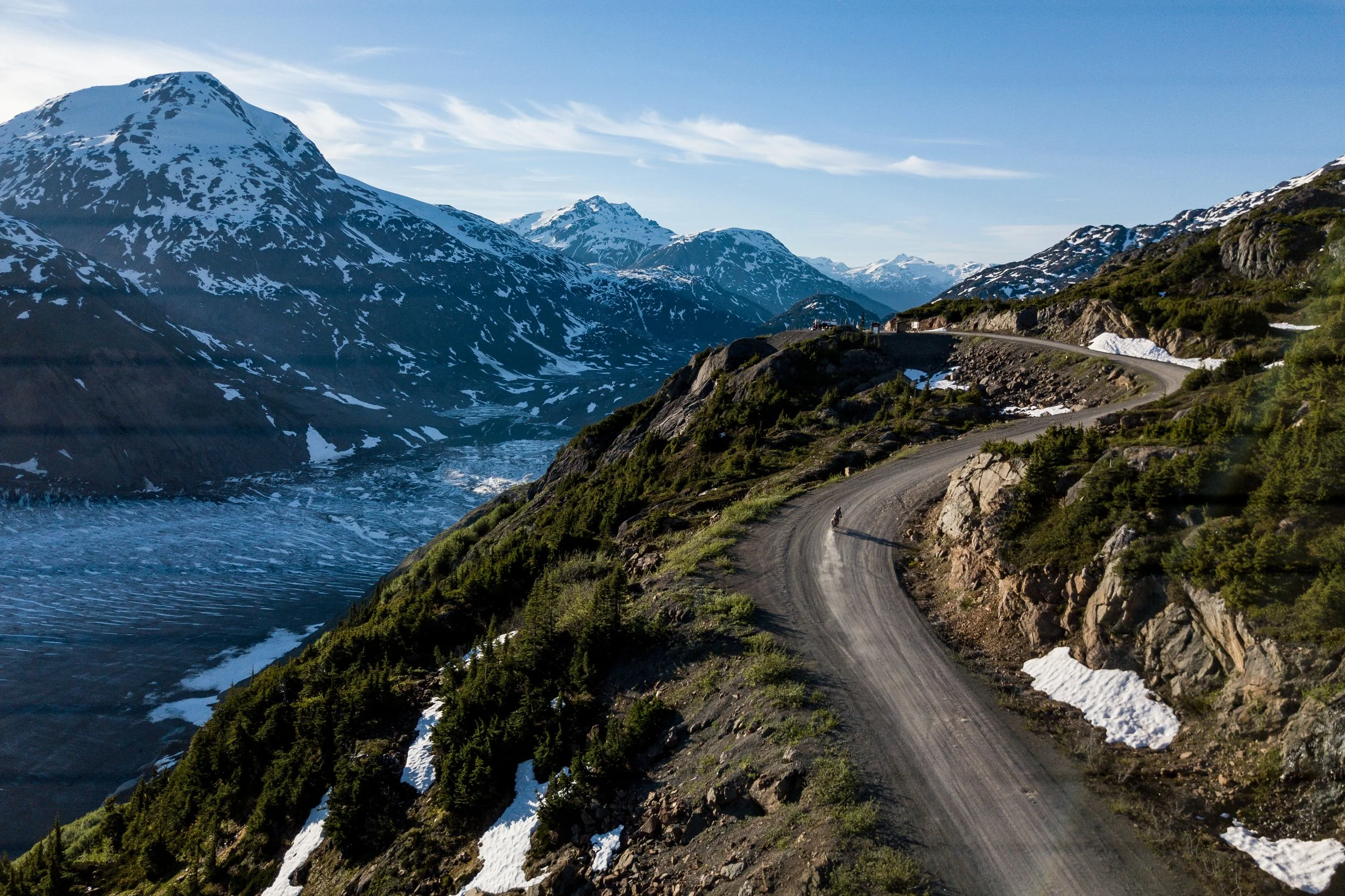
Resource Road Access Survey.
Credit: Steve Shannon Photography
Help identify the resource roads and road systems that matter most for outdoor recreation in British Columbia.
Much of B.C.’s backcountry is reached by resource roads. These roads were built mainly to support forestry and other resource industries, but they also provide important access to rural communities, trails, lakes, rivers, campsites, parks and other recreation areas.
Across the province, some roads are deteriorating, being deactivated or becoming difficult to travel. In many cases, there is no clear responsibility or funding for maintaining them for recreation access.
When industrial use ends, a resource road may continue to be maintained, be transferred to another user, receive little or no maintenance, or be deactivated. Public recreation use does not necessarily mean there is a government agency or company responsible for keeping the road open. As a result, access can deteriorate or be lost when maintenance stops, roads wash out, or bridges and culverts are removed.
The Resource Road Access Survey is gathering local knowledge to build a clearer provincial picture of which roads are important, where access is at risk and what solutions may be possible.
The survey will remain open until 2027 so that reports can be collected from different regions, recreation activities and seasons.
Complete the survey
The survey takes approximately 10 to 15 minutes to complete, depending on the amount of information you provide.You do not need to have complete or technical information.
Local knowledge, best estimates, maps, photos, examples and personal experiences are all useful.
Supporting maps, photos or other attachments can be emailed to info@orcbc.ca.
Why resource road access matters
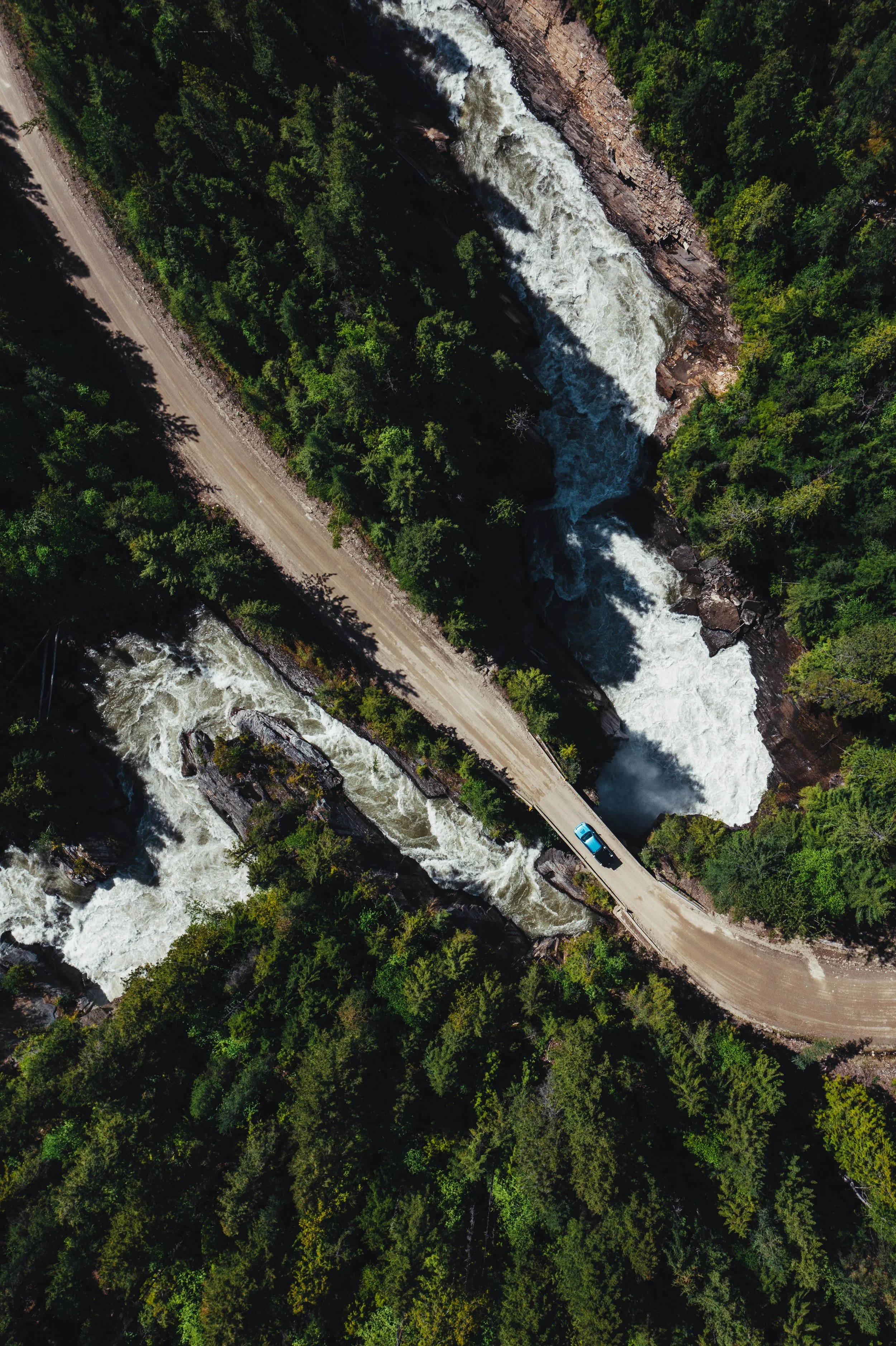
Image: Steve Shannon Photography
Resource roads form an important part of B.C.’s recreation infrastructure. They provide access to:
trails and trailheads
lakes, rivers and boat launches
recreation sites and campsites
provincial parks and protected areas
hunting, fishing and wildlife-viewing areas
climbing, mountaineering and backcountry skiing destinations
snowmobile, off-road vehicle and equestrian areas
remote communities and culturally important places
When a road becomes impassable or is closed, the effects can extend well beyond the road itself. Access may be lost to entire trail networks, recreation destinations, volunteer-maintained infrastructure and local tourism opportunities.
There is currently no government agency specifically responsible for keeping resource roads open for recreation. With the Province recognizing outdoor recreation as an important sector that supports quality of life and local and regional economies, there is an opportunity to consider a more coordinated approach to managing priority recreation access routes.
What we are trying to learn
The survey will help create a provincial inventory of resource roads and road systems that are important for outdoor recreation.
We want to identify roads that:
are currently used to reach recreation destinations
remain open but may be at risk of closure or deactivation
have deteriorated or become difficult to travel
were previously used for recreation but are now closed or inaccessible by vehicle
Where access has been lost, limited or threatened, we also want to understand:
what is causing the problem
which recreation destinations and users are affected
how important the route is locally or regionally
whether alternate access exists
what maintenance, management or other solutions may be possible
The survey is not intended to suggest that every resource road should remain open indefinitely. Decisions about roads must also consider public safety, environmental impacts, wildlife, cultural values, Indigenous rights and interests, operational needs and the cost of maintenance.
The goal is to ensure that recreation access is better understood and considered when decisions are made.
What information is helpful
You can provide as much information as you have, including:
the name and location of the road or road system
the recreation destination it provides access to
the activities that depend on the route
the current condition of the road
known closures, gates, washouts, bridge removals or deactivation plans
the number or range of people who use the route
whether another practical access route is available
photographs, maps, GPS files or links
possible solutions or organizations that should be involved
First-hand knowledge is valuable, even when exact road names, usage figures or technical details are unavailable.
How to report a road system
Please complete one survey for each recreation destination you are reporting.
You may submit multiple surveys for destinations reached by the same or different road systems.
When access involves several connected roads, for example, a main resource road followed by one or more branch roads, identify the full road system used to reach the destination.
Where possible, include enough detail to help locate the route on a map.
How the information will be used
Survey results will be used to build a clearer provincial picture of the resource roads and road systems that matter most for recreation access in B.C.
The Resource Road Working Group and its partners will use the information to:
identify priority recreation access routes
understand common access barriers
look for regional and province-wide patterns
explore practical management and maintenance options
identify areas requiring further research or discussion
support conversations about policy, planning and funding
The findings may inform discussions with the Province, First Nations, local governments, recreation organizations, industry, land managers, funders and others involved in resource road management.
The information may also support future advocacy, planning initiatives, partnerships and funding proposals aimed at maintaining or restoring important recreation access.
Early findings may be shared while the survey remains open, but conclusions will be clearly identified as preliminary until a fuller range of regions, activities and seasons has been represented.
Privacy and follow-up
Contact information will only be used if the working group needs to follow up to clarify or better understand a submission.
Survey findings may be summarized, mapped and shared with partners and decision-makers. Individual contact details will not be shared publicly.
Respondents should avoid including sensitive personal, cultural, archaeological or ecological information that should not be made public. Sensitive information can instead be discussed directly with the working group.
Who is leading this work?
The survey is being led by the Outdoor Recreation Council of BC’s Resource Road Working Group, a collaborative group focused on understanding and addressing recreation access issues involving resource roads across B.C.
The working group includes representatives from:
Outdoor Recreation Council of BC
Federation of Mountain Clubs of British Columbia
BC Snowmobile Federation
Four Wheel Drive Association of BC
Quad Riders ATV Association of BC
British Columbia Mountaineering Club
The project is also supported by the Service Road Atlas, which provides valuable information about B.C.’s resource road network.
Together, the working group and its partners are gathering information from recreation organizations, businesses, communities and individual outdoor users to help ensure that important recreation access routes are visible in future planning and decision-making.
Media coverage
The Resource Road Access Survey and the broader challenges facing recreation access on B.C.’s resource road network have received coverage across the province.
Articles and opinion
A question of access: Recreational groups seek improvements to B.C.’s vast web of resource roads
The Globe and Mail - August 1, 2026
Why the ‘backbone’ of B.C. outdoor recreation access is in jeopardy, groups explain
Vancouver Sun - July 12, 2026
Identifying access to important recreational resource roads focus of survey
Castanet - July 11, 2026
Survey hopes to gauge state of B.C.’s resource roads
Ashcroft-Cache Creek Journal - July 7, 2026
British Columbia Resource Road Access Survey
BIKEPACKING.com - July 7, 2026
Who decides when a B.C. resource road dies?
The Squamish Chief - July 5, 2026
Radio interviews
Resource roads and recreation access
Daybreak South, CBC Kelowna - July 14, 2026
Resource roads and recreation access
The Jas Johal Show, CKNW - July 13, 2026
Questions?
For questions about the survey or to provide supporting information, contact the Resource Road Working Group at info@orcbc.ca
Stay informed
Sign up for the ORCBC newsletter to receive updates on the Resource Road Access Survey, emerging findings, opportunities to get involved and other outdoor recreation news from across B.C.