
The road, bridge or trail you rely on may be part of a forest plan
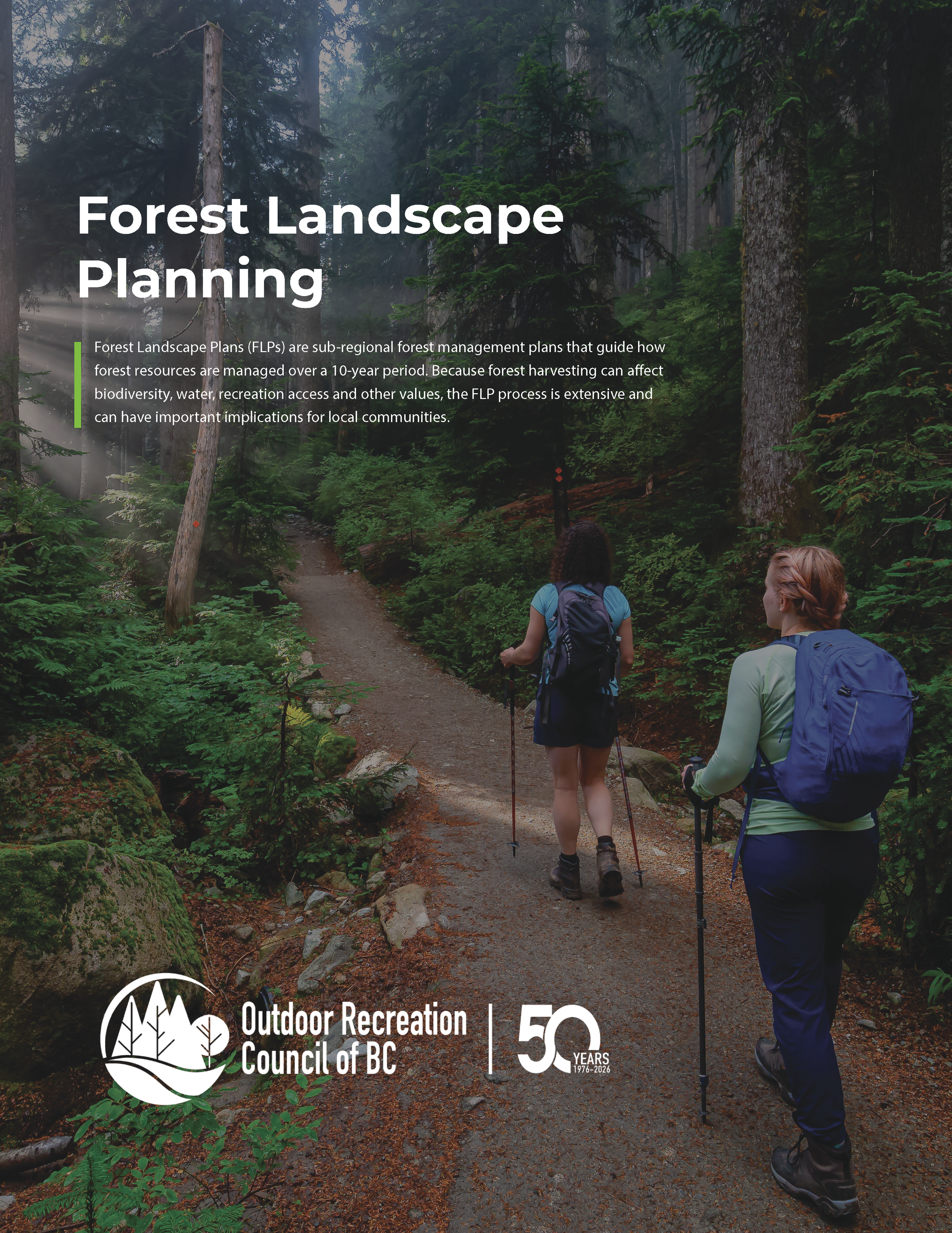
A local hiking club uses a forestry road to reach its main trailheads. A snowmobile club depends on a bridge to access its winter riding area. A mountain bike network crosses land that may be harvested. A paddling group uses an informal launch that may not appear on provincial maps.
These are the kinds of recreation values that need to be identified through Forest Landscape Planning.
Forest Landscape Plans are being developed in areas across B.C. to guide decisions about forestry, including where harvesting may occur, where roads are built or removed and how forests are managed over the long term.
They are not recreation plans, but they can have a direct effect on recreation.
What could change?
Consider a forest road that provides the only practical access to a trailhead and backcountry campsite.
The road may have originally been built for logging. Once it is no longer needed for forestry, it could be deactivated or left without regular maintenance. If the planning team does not know that hundreds of hikers, hunters or campers use it each year, the recreation consequences may not be fully considered.
A local group can help by providing:
the name and location of the road
a map showing the trailhead, campsite or lake it reaches
an estimate of how many people use it
the months when it is most heavily used
photographs of the road and access point
information about volunteer or community investments in the area
The group can also make a specific request: keep the road open to the trailhead, retain a key bridge, provide notice before deactivation or explore a maintenance partnership.
That is much more useful than simply saying the road is important.
Trails can be affected even when they remain open
A trail may not be closed by forestry work, but the experience and function of the trail can still change.
For example, a mountain bike or hiking trail may pass through a proposed cutblock. Harvesting could remove shade, change drainage, affect sightlines or leave the trail disconnected on either side of an active work area.
A recreation group could ask that:
the trail corridor be mapped before harvesting begins
trail connectivity be maintained through the cutblock
machinery crossings be limited to agreed locations
drainage around the trail be protected
harvesting near the trail take place outside the busiest recreation season
the group be contacted before work starts
These are practical requests that can often be considered during planning. They are much harder to address once harvesting is underway.
Small pieces of infrastructure can be critical
A single bridge or stream crossing can determine whether an entire area remains accessible.
For example, removing a bridge five kilometres from a trailhead may not close the forest road on paper, but it can make the destination unreachable by vehicle. That could affect trail maintenance, emergency response and public access.
The same is true for parking areas, informal boat launches and road junctions. They may look minor on a map, but losing them can cut off access to a much larger recreation area.
Groups should identify these locations clearly and explain what depends on them.
Informal places are easy to miss
Legally established and sanctioned recreation sites and trails may already be known to Recreation Sites and Trails BC or local governments.
Informal recreation areas are more likely to be missed.
This could include:
an undesignated or historic trail used regularly by horse riders
a roadside pullout used as a trailhead
a forest road used as part of a long-distance cycling route
an informal canoe launch
a winter route used by snowmobilers or backcountry skiers
a viewpoint valued by residents and visitors
a connecting trail between two established recreation areas
If these places are not identified, planning teams may not know they exist or understand how they are used.
Scenic quality also matters
Access is only part of the picture. Harvesting beside a popular trail, campsite or viewpoint can change the character of a recreation experience. In some places, the effect may be limited. In others, the forest setting or view is a major reason people visit.
A community might identify a heavily used lookout above town and ask that cutblock design consider the view from the lookout. A trail organization might map the section of a trail where the forest setting is especially important. A tourism organization might provide information about how a particular landscape supports local businesses and visitor experiences.
Again, the more specific the information, the more useful it is.
Do not wait for the draft plan
Forest Landscape Planning moves through several stages. Recreation groups have the best chance to influence the plan while values are being identified and the plan is being developed.
By the time a full draft is released, many of the main directions may already have been set.
Groups should find out whether planning is underway in their region, connect with others using the same landscape and decide which roads, trails, bridges, waterways and recreation areas matter most.
A strong submission does not need to be long. It should clearly answer five questions:
What place or route are you concerned about?
Where is it?
Who uses it and how?
What forestry decision could affect it?
What are you asking the planning team to do?
An example of useful input
Instead of writing:
This road is important for recreation and should remain open.
A group could write:
North Creek Forest Service Road provides the only vehicle access to the North Creek trailhead, two backcountry campsites and a small fishing lake. The trail is maintained by local volunteers and is used by approximately 1,500 people between May and October. The bridge at kilometre 12 is essential for public access and emergency response. We are asking that the road and bridge be identified as priority recreation access infrastructure and that local groups receive advance notice of any proposed deactivation or removal.
The second version gives the planning team a location, a reason and a clear request.
Planning is already underway
Forest Landscape Planning projects are underway in several parts of B.C., including 100 Mile House, Bulkley-Morice, the Cariboo-Chilcotin, Cranbrook, East Vancouver Island, Kootenay Lake, Mackenzie, Quesnel, the Sunshine Coast and West Central Vancouver Island.
ORCBC has created a resource to help
ORCBC’s Forest Landscape Planning page brings together practical information to help recreation groups take part in the process. It includes:
a guide to Forest Landscape Planning
a recreation values checklist
a submission worksheet
examples of specific requests groups can make
links to current planning and engagement opportunities
Forest plans can affect whether a road remains usable, whether a bridge stays in place, whether a trail remains connected and what people experience when they visit an area.
Recreation groups often hold the local knowledge needed to make those impacts visible. The important thing is to provide it early, clearly and through the official planning process.
Visit ORCBC’s Forest Landscape Planning page to access the resources and find out whether planning is underway in your area.