
The path to something good? Checking in with recreation groups on the province’s revamped planning process
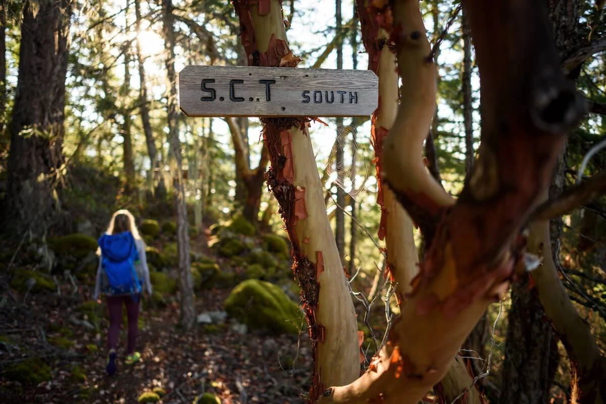
Photo: Destination BC & Andrew Strain
In 1992, Eagle Waltz, Monty Tyrwhitt-Drake and the other founders of the Powell River Parks and Wilderness Society decided to copy the environmentalist playbook.
In Clayoquot Sound, Stein Valley and elsewhere, conservationists had built trails into ancient forests so average people could appreciate the wilderness, become advocates themselves, and pressure the provincial government to protect the special places.
On the Powell River section of the Sunshine Coast, Waltz and Tyrwhitt-Drake started linking existing trails to old-growth stands. In a decade, they had completed the 180-kilometre-long Sunshine Coast Trail from Sarah Point north of Lund to Saltery Bay. (The original group is now called the qathet Parks and Wilderness Society (QPAWS).) While some parts of the trail were protected in parks over the years, much of the trail remains in the working forest and vulnerable.
“It feels like we’ve had to build the trail twice to rebuild all the sections that were logged,” says Tyrwhitt-Drake. “There’s a constant pressure.”
So when the provincial government began rolling out a new approach to land use planning, Tyrwhitt-Drake was optimistic.
The provincial government said the changes were needed to bring its various planning processes in line with commitments made in the last five years or so, including on climate change, protecting old growth forests and biodiversity, and the adoption of the United Nations Declaration on the Rights of Indigenous People.
In previous blog posts, we explored how these forces led to the introduction of Modernized Land Use Planning (MLUP), Forest Landscape Planning (FLP), and Water Use Planning (WUP). In brief, the three planning processes are exhaustive consultation efforts where the provincial government and First Nations governments have equal authority, with stakeholders and local governments providing input. LUPs are macro in scale and consider all the possible uses of the land in a given area. FLPs are more local and focus on forestry practices. And WUPs are watershed-specific and deal with water use in the river system and on land.
Nearly two years after those stories first appeared on our website, we are checking in with people in the recreation community who have taken part in FLP and LUP processes. (See a full list of ongoing planning projects here.)
The Gold Rush Cycling Club has provided input to the Quesnel Forest Landscape Planning Project, one of the four pilot FLPs that are being used to prototype the new process. They were automatically invited because they build and maintain trails at a network called Wonderland that is within the 1.4-million hectare Quesnel Timber Supply Area, the subject of the plan.
John Courtney, president of the GRCC, engaged in the initial meetings and provided written and verbal input into the club’s interests and perspectives. But after three meetings, he realized the discussions were too “high level” to serve the club’s interests.
“From the outline of the process, it was obvious there was very little to do with us and what we’re up to as a club,” he says. “It was a capacity issue.”
He already has a lot on his plate, but if someone else in the club was fascinated by planning, he thinks it would have been worthwhile for the club to stay involved. Though he’s unsure how much sway the recreation community could have.
“My overall sense was that the ‘important decisions’ were being made in a separate set of meetings between industry and government that were taking place behind closed doors, and that the FLP process was a way of getting the rest of us together, from ranchers to guide outfitters to mountain bikers, so that we would have a forum in which to feel as though we'd been invited to share our opinions and express our concerns,” he said. “It was, however, eye-opening to step back and realize just how polar opposite the needs are of many of the various land-based user groups.”
Monty Tyrwhitt-Drake is more hopeful about the shíshálh-BC Land Use Plan. The shíshálh Nation began the LUP process in 2018 when it signed the shíshálh-BC Foundation Agreement with the provincial government. The LUP will “provide clear management direction on biodiversity, watershed integrity, resources important to shíshálah culture and sustainable economic development” within the swiya, the nation’s traditional territory, which includes most of the main Sunshine Coast and the southern section of the Powell River portion.
On behalf of QPAWS, Tyrwhitt-Drake joined the old growth forests focus group. It was one of many sub-groups convened within the engagement phase to look at current conditions within the swiya. Discussions focused on watershed integrity, climate change and cumulative impacts. It was the first time he remembers talking about any of those concepts in a planning venue.
“That tells me a lot about what they are interested in,” he says. “Because the Nation has been at this for a long time, I feel more confident this will turn out to be something good.”
Recreation was not talked about in any of the meetings he attended and he hasn’t seen it directly mentioned in any written material either. It doesn’t surprise Tyrwhitt-Drake for two reasons. QPAWS has tried to engage the shíshálah Nation several times with no response from the Nation. And looking at the swiya as a whole, recreation is a tiny component.
“I think [recreation is] too small of an issue when looking at current conditions,” said Tyrwhitt-Drake. “It can’t compare to the total and complete ecosystems.”
The shíshálh-BC Land Use Plan is now in the development phase, where the Nation and provincial government planners develop a proposed LUP. The next phase will involve more engagement to evaluate and approve the plan. The final stage implements the plan and then monitors and assesses its effectiveness. The Quesnel FLP is in the plan development phase as well.
While neither the Quesnel FLP or shíshálh-BC LUP engaged on recreation issues, that will not always be the case. Neither process is scripted or prescribed. For LUPs in particular, the focus can be general or very specific. For instance, First Nations within the Sea to Sky region are implementing the Sea to Sky Visitor Use Management plan, which the provincial government lists as an LUP. It is focused specifically on recreation within three zones in the region.
The best strategy for recreation groups remains the same as when we first reported on the new planning process two years ago. At the time, Brian Bawtinheimer, then the executive director for the provincial stewardship strategies and planning branch, part of the Ministry of Water, Land and Resource Stewardship, offered this advice:
“Every user group needs to understand that the government intends to redo all the LUPs in the province. Staying connected to land use issues and building awareness of recreation interests with First Nations, resource users and local communities is critical.”
Two years later, Bawtinheimer is now retired, but B.C. still remains a leader in planning.
“We’re doing stuff in B.C. no one else in Canada is doing,” he said. “It’s super exciting but super hair-raising at the same time. The province doesn’t have all the answers. It’s only collectively that we’ll figure out a path forward.”