
Recreation groups encouraged to participate in land-use planning for northwest B.C.
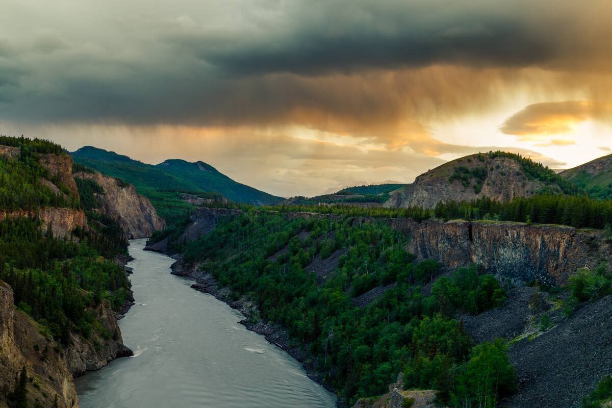
Image credit: Northern BC Tourism and Jeanine Philippe
Deadline for input extended to August 8.
The Province of B.C., together with many First Nations, including Tahltan, Taku River Tlingit, Kaska Dena, Gitanyow, and Nisga’a Nations, is launching four major new land-use planning initiatives in the northwestern corner of the province. Covering approximately 16 million hectares, these processes will guide how land is used, balancing conservation, reconciliation, tourism, outdoor recreation, and sustainable economic development.
For recreation groups across the province, this is a unique opportunity to help shape the future of access and land stewardship in one of B.C.’s most stunning and remote regions.
Why this matters for the recreation community
Land-use planning helps determine where trails and huts can be built, which areas remain accessible for outdoor activities, and how recreation values are considered alongside conservation and resource extraction. These new plans will identify areas for Indigenous-led conservation, zones for potential development (including critical minerals), and places of cultural and ecological significance.
If recreation groups want to ensure continued access, meaningful stewardship, and recognition of the value outdoor experiences bring to people and communities, now is the time to engage.
Key points about the planning process:
The area under review spans roughly 16 million hectares in northwest B.C., near the Alaska and Yukon borders.
Planning will be expedited over the next year, with public and stakeholder engagement playing a key role.
There will be a strong focus on identifying areas for biodiversity conservation (e.g. caribou, wild salmon, sheep) and cultural values.
The process will also identify zones for potential resource development.
A temporary pause on new mining tenure registrations in part of the area will allow planning to proceed, while existing claims and projects can continue.
Premier David Eby recently outlined the Province’s vision for this region, anchored in the principles of economic growth, reconciliation, and conservation, aligned with B.C.’s Declaration on the Rights of Indigenous Peoples Act (DRIPA). These land-use plans are a key part of that vision.
Have your say before August 8.
Public engagement to help shape the draft plans are now open at: https://planninginpartnership.ca/
Deadline for input: August 8, 2025
We strongly encourage all outdoor recreation groups with interests in the region, whether large or small, to provide feedback through the government’s online survey portal. Your input can help shape how land is accessed, used, and protected for future generations.
How to get involved:
Visit the engagement site and share your group’s perspectives and interests: planninginpartnership.ca, or the specific land use planning initiatives:
Talk to your members and community about key recreation areas or values you want to see reflected in the plan.
Collaborate with other groups in your region to submit a joint response if appropriate.
Reach out to ORCBC if you need help preparing your input; we’re happy to support you.
This is a critical moment to influence land-use decisions in one of B.C.’s most pristine and culturally significant landscapes.
Let’s make sure recreation has a seat at the table.